

Posts in category 'Great Oregon Hikes'
Subscribe and receive email notifications of new blog posts.
 RSS Feed
8
Alder Springs is a Little Known Central Oregon Hike
Hike Alder Springs Ideally in Fall or Spring
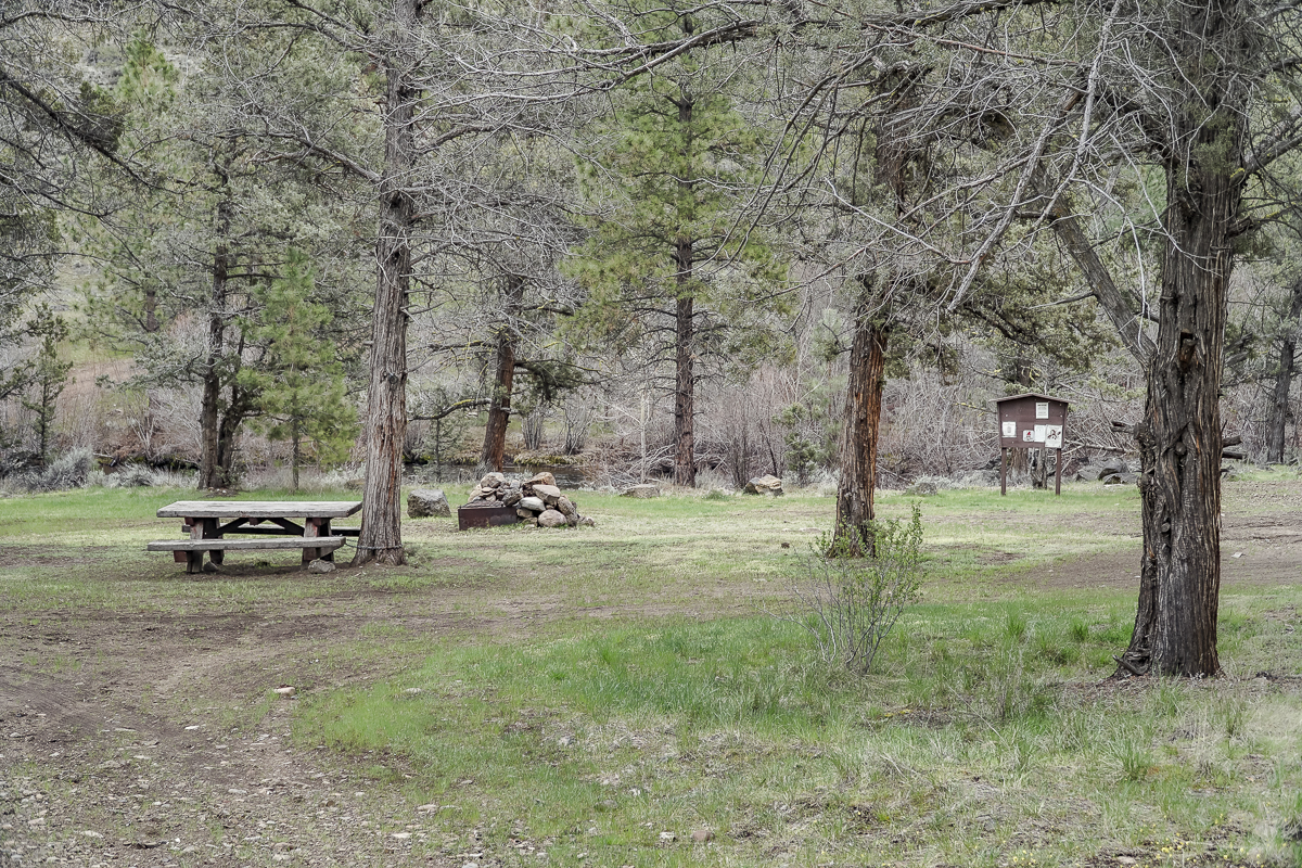
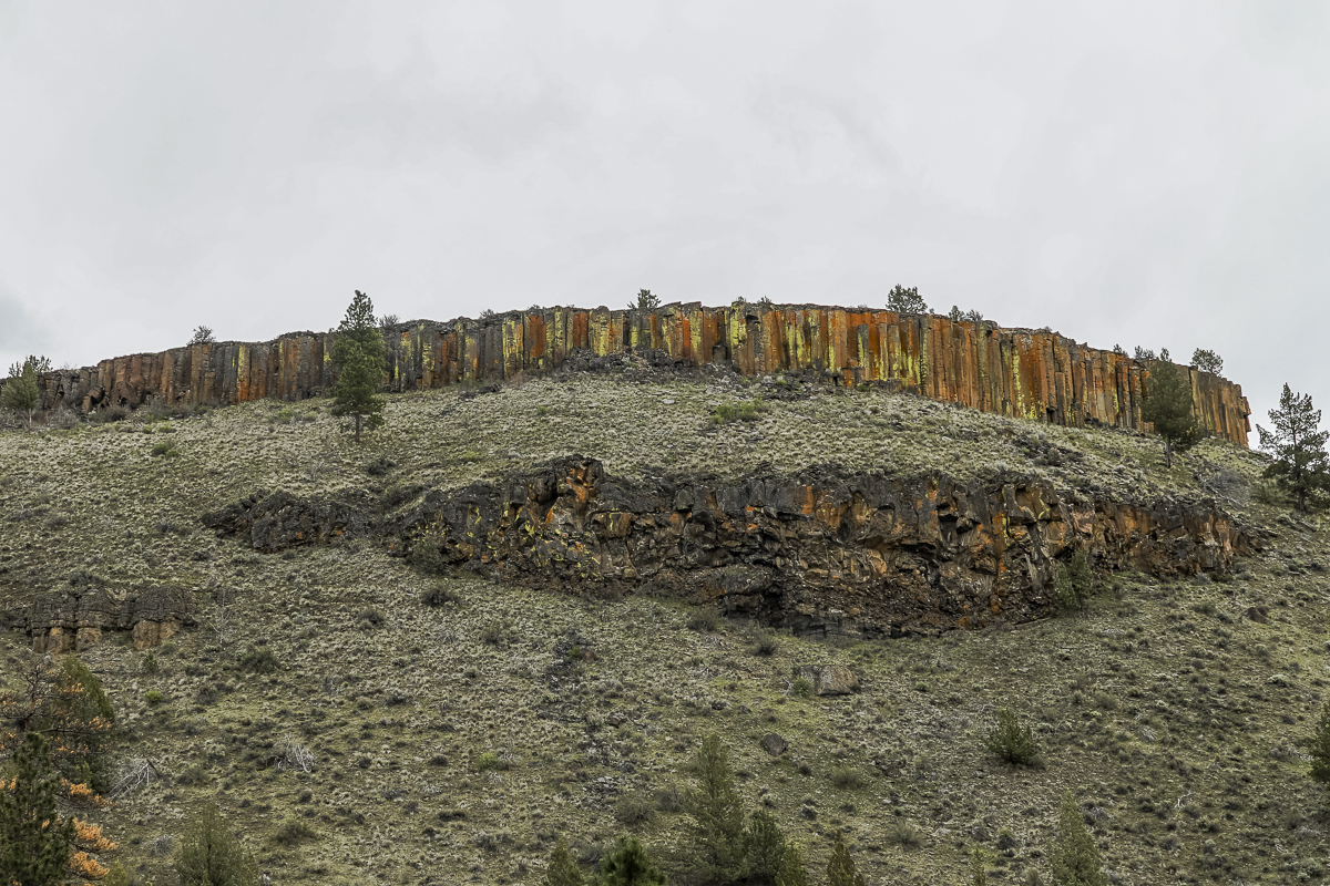
The hike to Alder Springs outside of Sisters limits motorized access from December 1st through March 31st to protect the winter rangeland of the local deer populations. However, access to the trail head is on rough dirt roads for which 4 wheel drive and high vehicle clearance is recommended. Directions to the official trail head can be found on the USDA website. The "unofficial" route involves travel on Locust Street (Camp Polk Road) in Sisters 3.1 miles north from East Cascade Avenue. Take this to Wilt Road, staying on Wilt when the pavement ends 4 miles. Past Rimrock Ranch the road is less maintained. Travel another 2.2 miles until you see a sharp unmarked turnoff to the right onto a rough dirt road. Travel on this past a gate until you reach a picnic area next to Whychus Creek which provides for a water crossing during dry times of the year. There is a beautiful mesa above the crossing and signage for a Native American archaeological site.
 |
 |
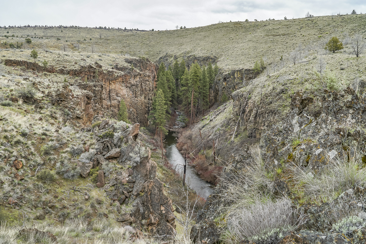
The unofficial trail parallels Whychus Creek for over 3.5 miles from the picnic area down the western side of Whychus Canyon eventually dropping to Alder Springs. The trail has some sections which are difficult to locate and other areas where the tract comes close to the canyon rim and the steep drop to the creek. In the summer the exposure with limited trees would make the hike very warm; hikers should be careful to bring plenty of water. Alder Springs is where the "official" trail crosses Whychus Creek and hikers using this trail need to wade across the stream to go any further; in April the water is cold.
 |
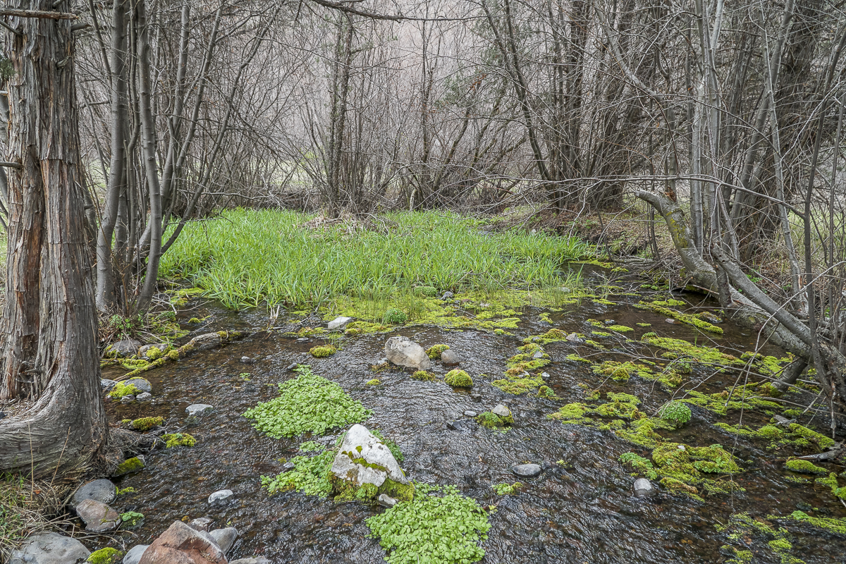 |
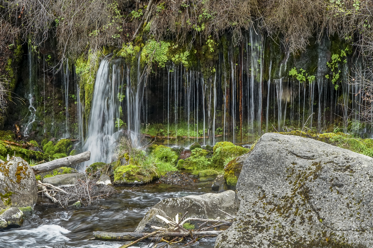
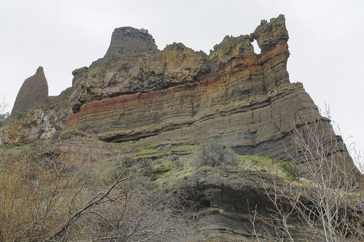
Hikers can enjoy the shade from the many trees and the water bubbling up from rocks at Alder Springs, eventually flowing into Whychus Creek. Or they can continue down Whychus Creek another 1.5 miles to the confluence of the creek with the Deschutes River. This section of the hike has far more vegetation which creates more shade, but also more obstacles to push aside, walk around or over. Close to the confluence is a stone cliff from which a spring flows creating a lovely waterfall. Access to this involves stepping around shrubs and trees to see it and as the vegetation grows later in the spring, many hikers will probably miss the waterfall as it will be hidden from the path. At the confluence, a large rock formation provides the perfect space for lunch and enjoyment of the flowing water and towering rock formations.
 |
 |
All in all, traveling the unofficial route will take more time, but the beauty of the high desert is very much displayed during the hike. Just over 1000 feet of elevation change, 11+ miles, and keeping feet dry make this unofficial route to Alder Springs a wonderful spring or late fall hike.
15
Hike to Paulina Falls at Newberry Crater Fall 2023
Peter Skene Ogden Trail is a Favorite Off Season Hike
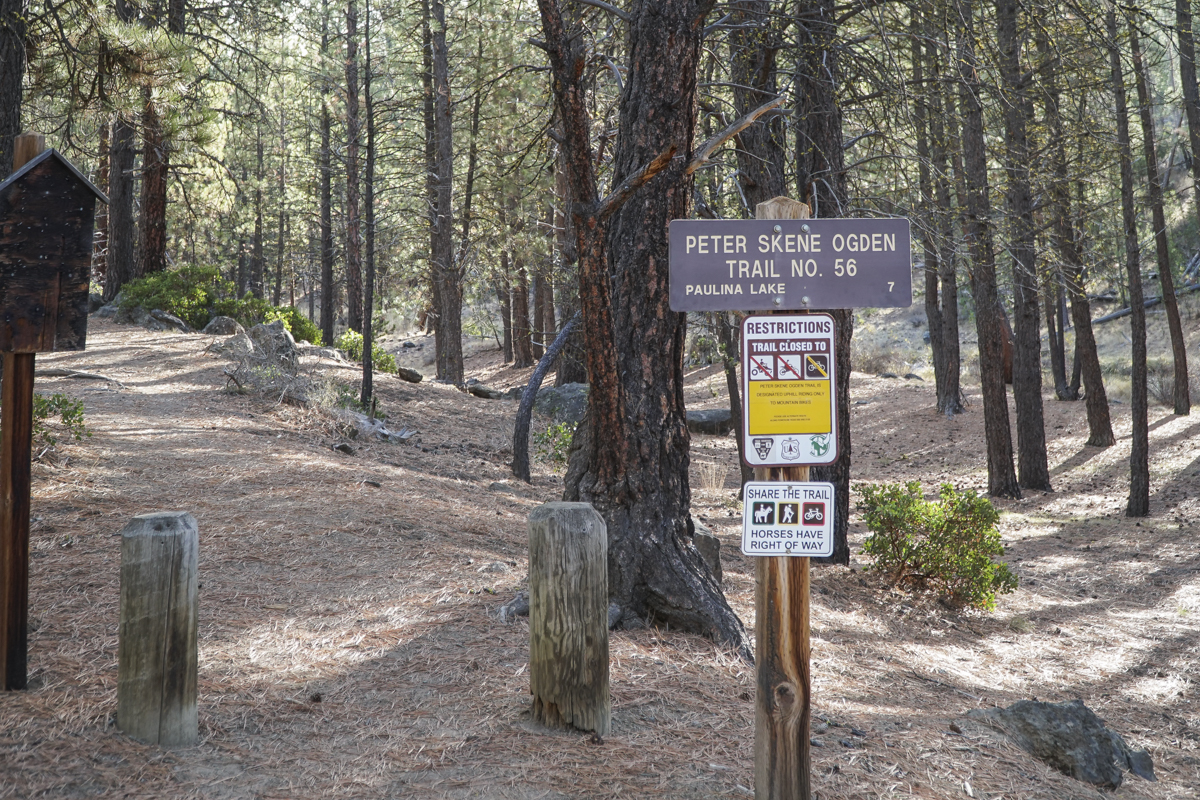
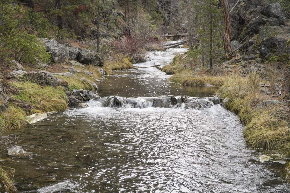
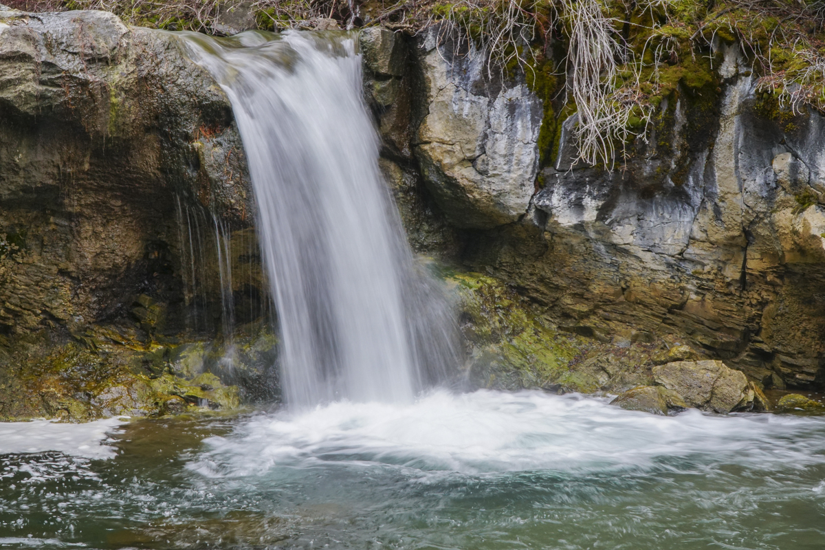
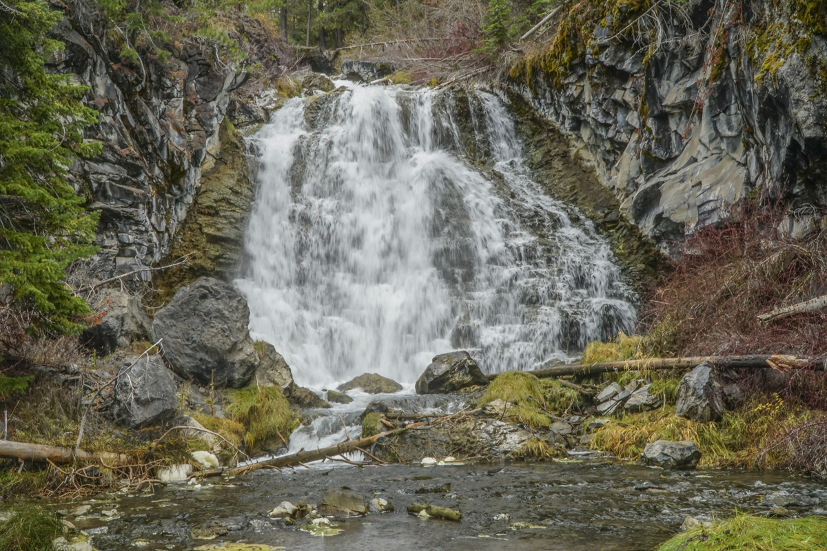
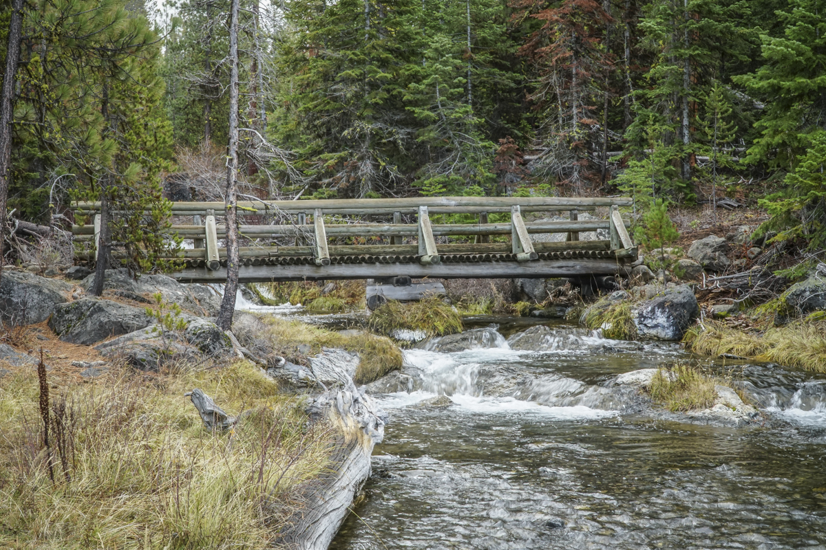
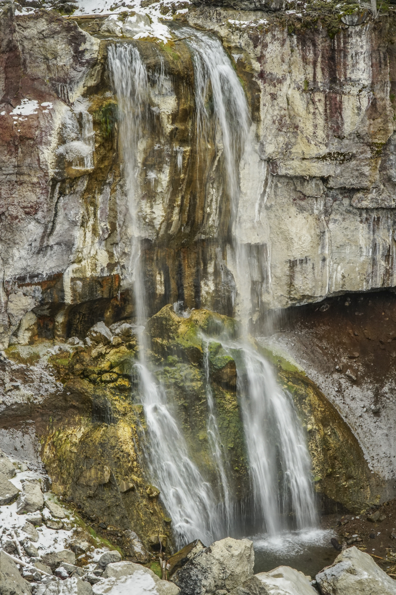
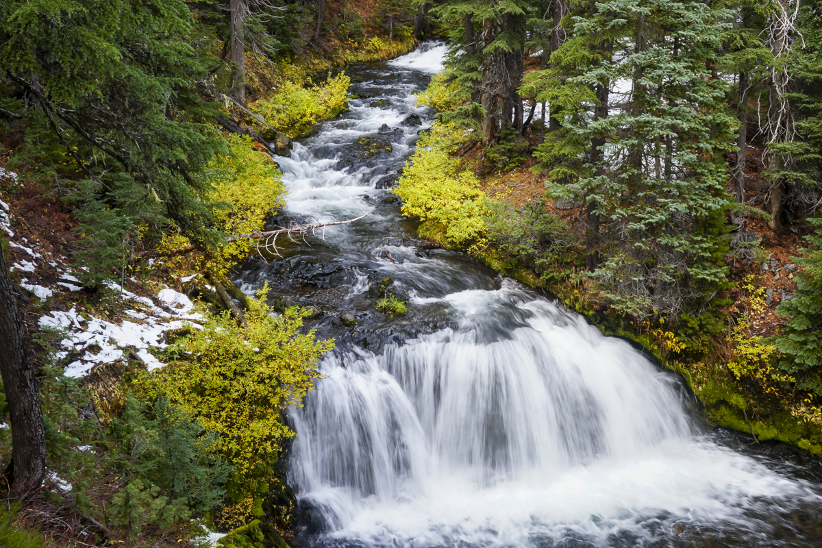
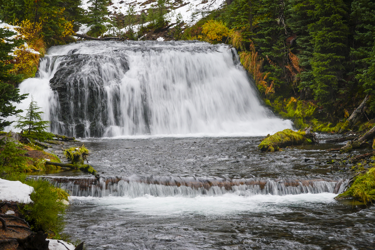
We have hiked from McCay Crossing to Paulina Falls multiple times, typically in the late fall and early spring when crowds are gone and snow accumulation is limited. We have always enjoyed the experience and have seen Paulina Creek and the numerous falls along the path in various stages of flow - spring run off, fall with lessened volume, and winter ice. Some of our favorite experiences have involved the ice, and we have named that experience "chasing frozen waterfalls."
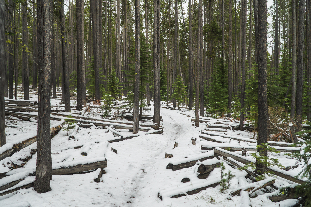
The hike we did 11-11-23 was in the fall after first snow, but after warmer temperatures had melted much of the snow in the lower elevations. We saw just a handful of people the entire day and our hike up and back was much faster than we experience when we have to walk through snow. But we had an opportunity to discover little seen or accessed waterfalls and had a wonderful day. The total hike was 13.8 miles with roughly 1600 feet of elevation gain.
 |
 |
 |
 |
 |
|
25
Hike to Broken Top from Todd Lake
The Hike to Broken Top is Among Central Oregon's Favorites
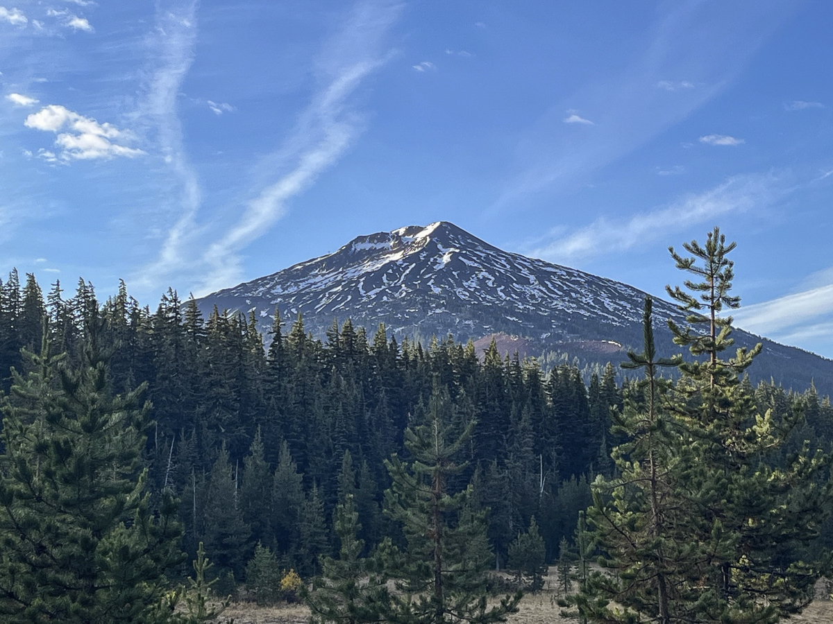
People exploring the Three Sisters Wilderness can hike to Broken Top from multiple trailheads. Three Creeks to Tam McArthur Rim provides for a social trail past Broken Hand to Broken Top and No Name Lake. Hikers looking for more distance can start at the Green Lakes Trailhead and hike Soda Creek to join with the Broken Top trail. Most people will drive past Todd Lake on the poorly maintained road to the Broken Top trailhead (high clearance vehicles are recommended) and cut the distance to 5.5 miles and under 1500 feet of elevation gain. And there is a well defined trail starting at Todd Lake which creates a much longer hike through old growth forest to join with the Soda Creek Trail and then the Broken Top trail. Total distance to the Broken Top summit exceeds 14 miles and pushes 2700 feet of elevation gain, but the experience is well worth it. Stunning views of Broken Top's eastern flank and Mt Bachelor become visible after hikers join with the Broken Top trail; bushwhacking in this open area can lead to new areas to explore and other beautiful views.
 |
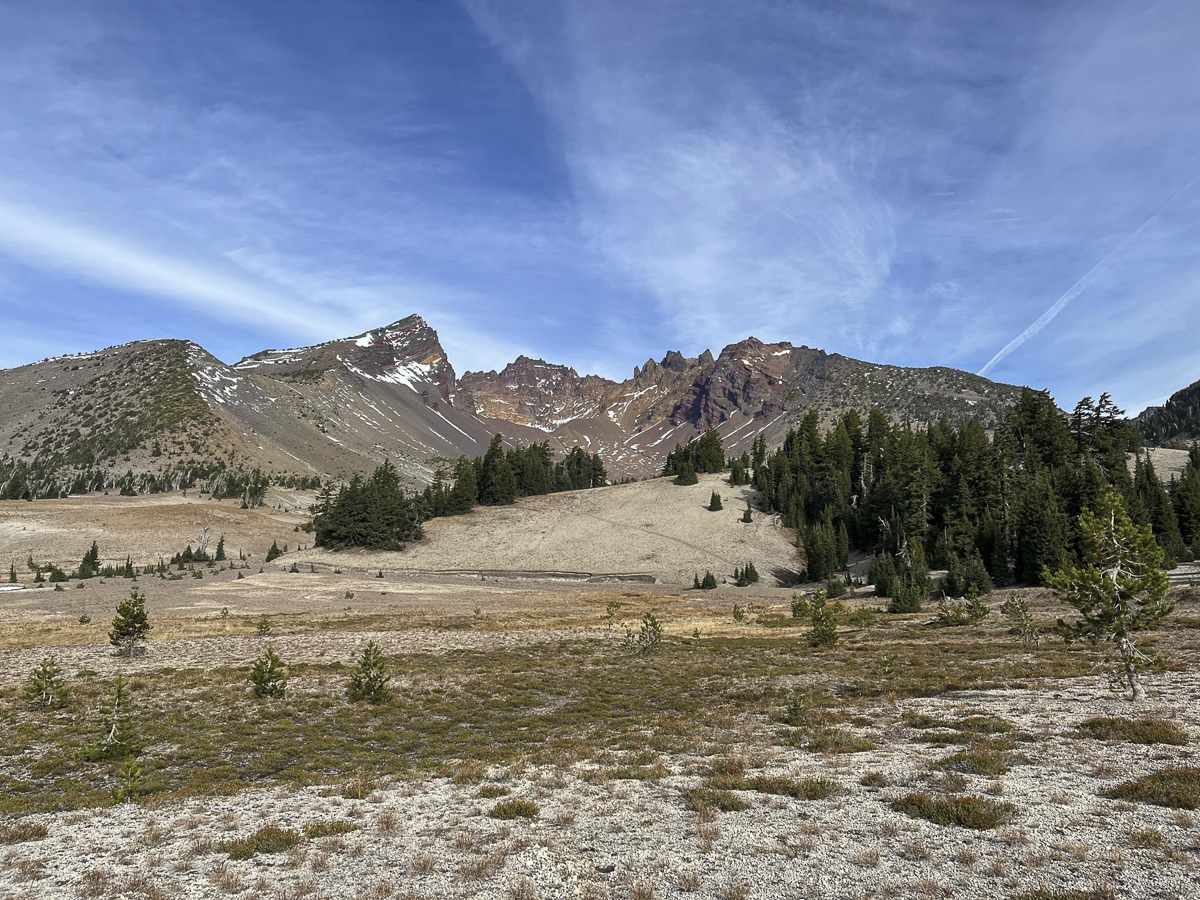 |
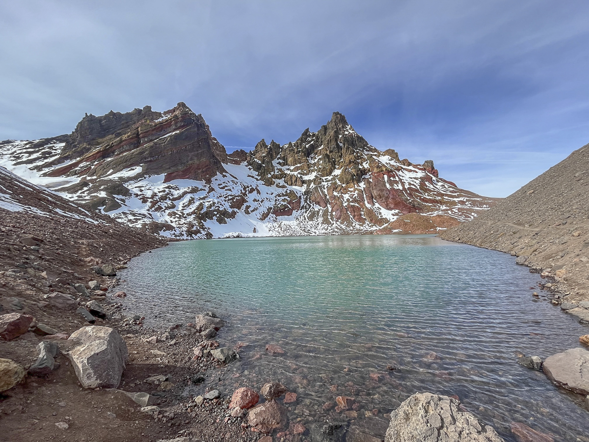
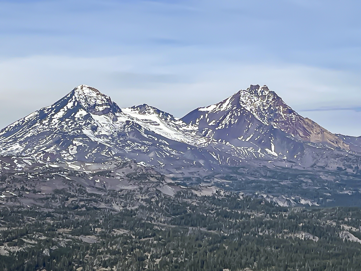
The hike taken October 21, 2023 was on a sunny, warm day after snow had fallen the week before. Remnants of melting snow were obvious, but created no real obstacles for hikers. This was also the first weekend in 2023 that did not require trailhead passes, so the trail was busy with many Broken Top hikers and off leash dogs; at times it seemed as if there were more dogs than people, but all encountered were well behaved and the people very friendly and happy to be out enjoying the beauty of the Central Oregon Cascades. No Name Lake was beautiful and cold with snow and glacial runoff, and the views from the summit toward Middle and North Sister were outstanding, although the ridge was very windy and not the best place to enjoy lunch.
 |
 |
18
Hike Green Lakes in Snow for a Unique Experience
We have hiked to Green Lakes multiple times. However, fewer hike this popular trail when the weather turns cold and cloudy. Our experience hiking to Green Lakes on 10-14-23 was the first we had this year. The trail passes to Green Lakes are so hard to get that if you are 30 seconds past 7 am on the US Forest Service website, you will be too late. Despite trying weekly all year, last Saturday, the last weekend of the year where passes are required, we finally obtained two.
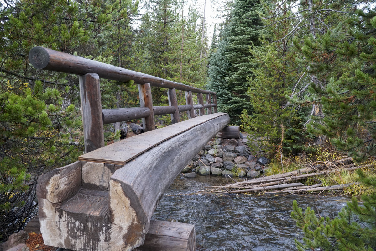
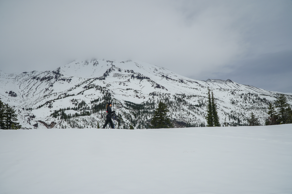
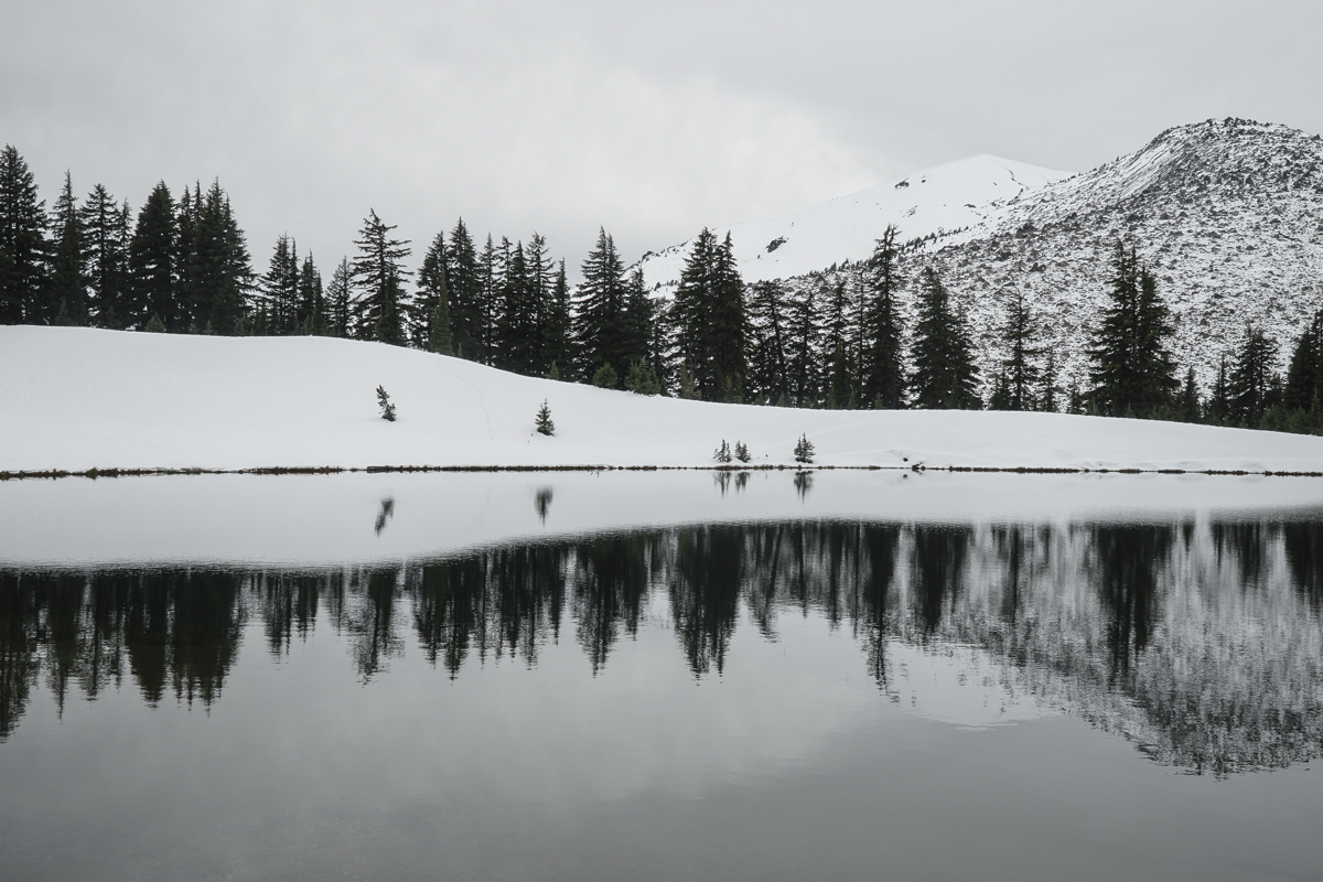
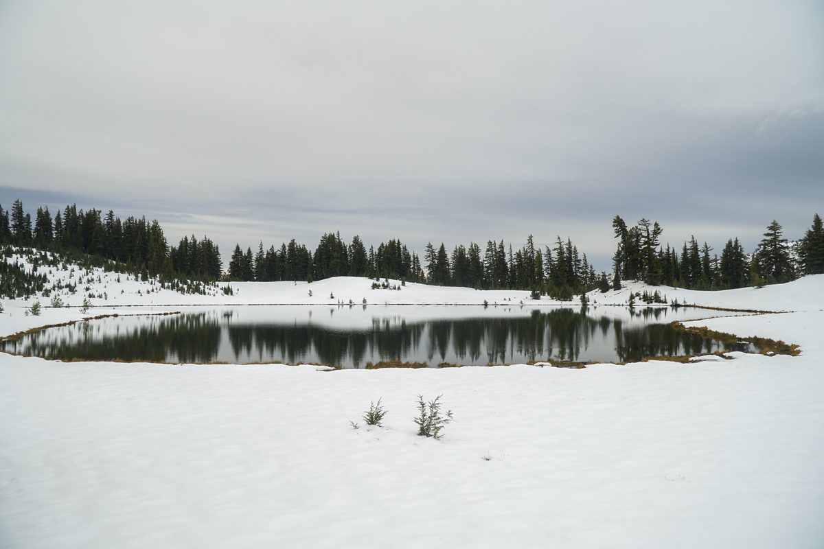
The weather was cloudy and cool, and during our hike the expected "ring of fire" eclipse occurred, resulting in a drop in temperature and a darker sky. However, after that event, the rest of our hike up to Green Lakes was uneventful, outside of hitting more and more snow the higher we climbed. At the second log bridge we put on our microspikes for safety against slippery conditions and the rest of the hike was fine. We had to do some postholing once we reached the first lake, but it was well worth the effort to travel to the far side which fewer people travel to, but is among our favorite spots due to the beautiful views of South Sister which can be mirrored in the lake. We also trekked a bit up the east side of the largest Green Lake, but decided against going further and returned back after enjoying lunch and the views.
On our hike back to the trailhead, we met a good number of hikers coming up in the later afternoon. Our morning experience was solitary with no one visible during our hour at the lake.
 |
 |
 |
 |
 |
 |
11
Hike Central Oregon's Clear Lake for Fall Color and Waterfalls
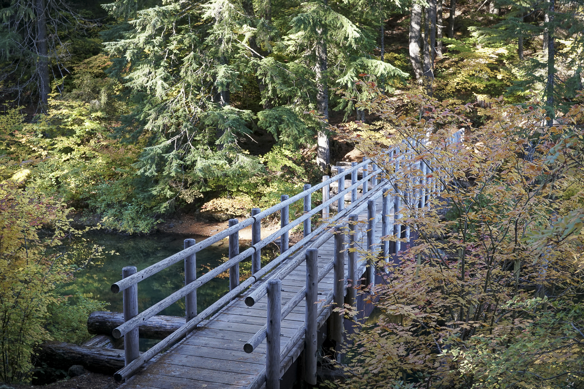
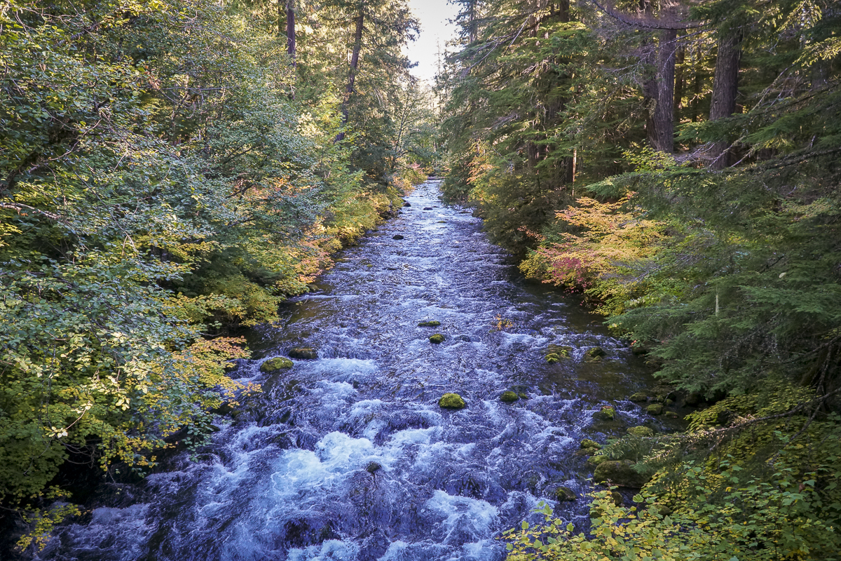
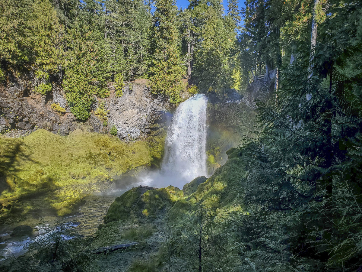
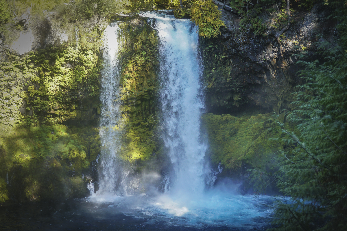
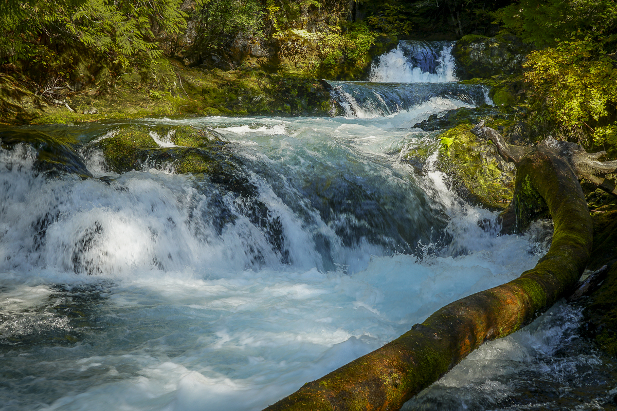
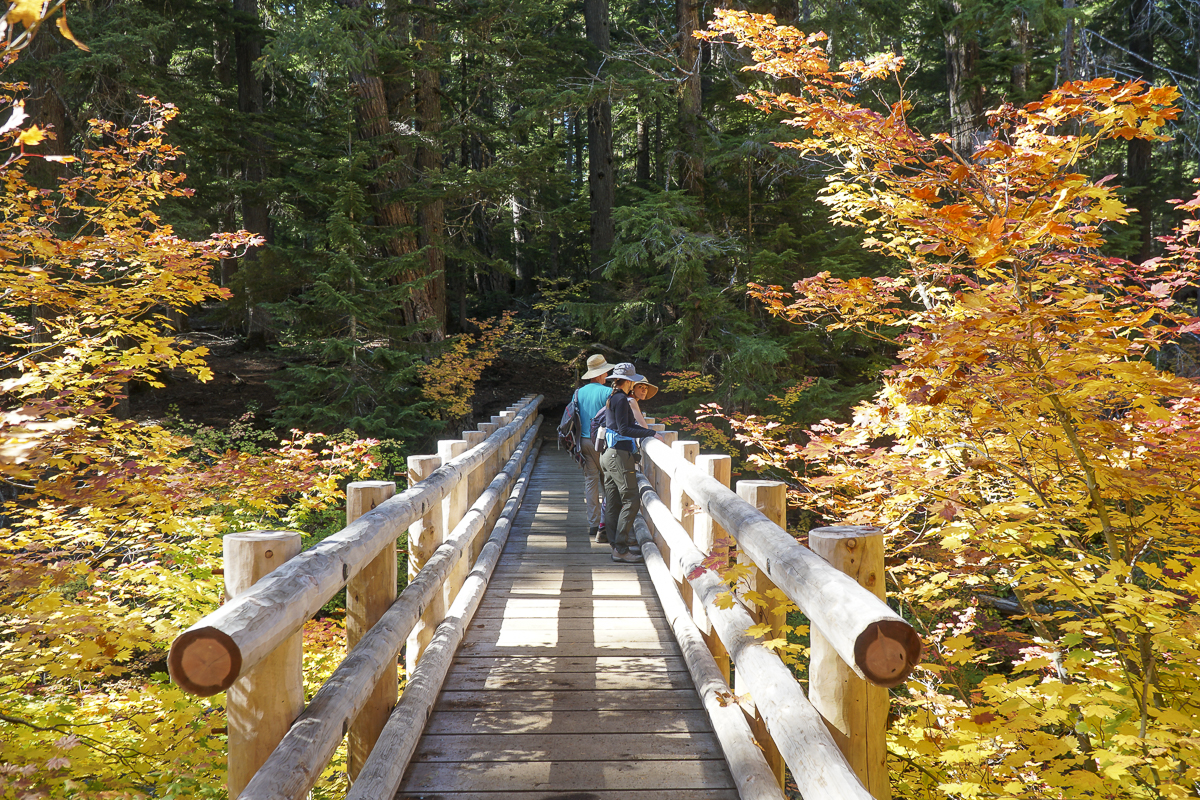
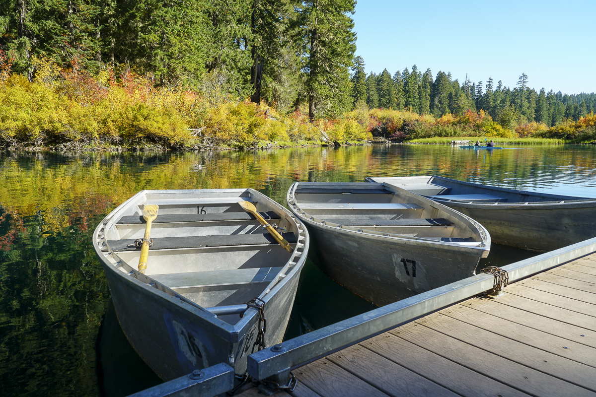
In all the years we have lived in Central Oregon, we have never been to Clear Lake, much less hiked around it. Located off Hwy 126 just south of the junction with Hwy 20 in the Willamette National Forest, the Clear Lake trailhead is next to the parking lot of the Clear Lake Resort where cabins, fishing supplies, boats and kayaks are available for rent. We arrived early before the parking lot filled and started our hike along Clear Lake's western shore. When we reached the southern edge of the lake, we took the cutoff trail to the Sahalie and Koosah Falls loop, which extended our hike and enabled us to view these beautiful waterfalls from the western side as well as the well known eastern viewpoints.
 |
 |
 |
 |
After completing the loop around the falls, we returned to Clear Lake and continued our hike up its eastern edge, passing the spring which is the headwaters of the McKenzie River and the northern edge of the lake. In reading up on Clear Lake, we learned that the lake was formed 3000 years ago when lava from Sand Mountain reached the river and backed up the water to form the lake. Hikers and boaters can still see remnants of the drowned forest in submerged trees still standing under 120 feet of water. The water is near freezing which is why these trees have not fully decomposed after 3000 years.
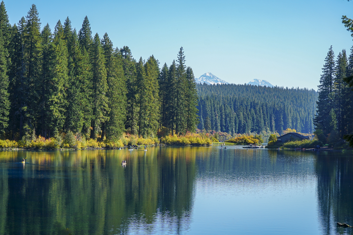
The northern part of the lake provides for views of North and Middle Sister. It is also here that we saw beautiful reflections in the lake, which at times had a turquoise tint. In returning to the lodge, the parking lot was filled to overflow. Our entire hike, including the waterfall loop, was just less than 10 miles and under 1000 feet of elevation gain. People wishing to see the beautiful colors need to hurry before the leaves fall.
 |
 |
 |
 |
Privacy Policy / DMCA Notice / ADA Accessibility


